There now follows a short rant.
We were enjoying a clear, warmish, windless evening when the air was filled with the sound of young children in some sort of school group. This isn’t always welcome. They stayed below us at the campsite but were having a great and very loud time until about 11pm. That’s when the music started.
For the next hour they had an even better time with Spanish / Euro-trash pumping out at such a volume it was hard to concentrate on reading, let alone thinking about sleeping.
Mr & Mrs Grumpy did eventually sleep, hearing the occasional dogs barking through the night, which seems to be a feature in many countries.

The next morning the sun was shining and grumpy thoughts dissolved and we moved towards Grazalema, another White Town which we intended to approach over a classic road.
First of all we visited Zahara de la Sierra where we heard the bells chime noon. There are several bell towers and all seem to be synchronised to be slightly ‘off each other’.
Then we took the road up the back and over the top at Puerto de las Palomas at a respectable 1,180m, which translates to pigeon pass or something.
.

It was indeed a great drive with precipitous drops and multiple tight hairpins. Several times we looked up rather surprised to see a vehicle on the side of the mountain above us, realising that yes, it “is our road” and wasn’t some farmer on his personal gravel track.
At the top we stood to look north and south and to feel slightly inadequate against the cyclists who had reached another Strava waymark.


The decent to Grazalema was not so far, as it is at 850m and the town campsite was the first thing we reached above the rooftops. This is in a beautiful setting under a huge limestone crag, from which Griffon Vultures soar. The campsite https://campingtajorodillo.es/ is tiny, hardly open yet and not really geared-up for camper-vans or Land Rovers but we were happy to pitch in the car park next to a shade structure with big table and bench seats.


The village clings to the hillside and all ‘roads’ down are steep and narrow. We get to know them all as we wander and look for the shops. Curiously they are mainly disguised as ordinary front doors.
We spy a parking restriction for the next day and wonder why. What does del toro de cuerda mean? Well it’s something about a bull and a rope and it’s tomorrow, not yesterday or in a few weeks when we will be home. It’s tomorrow!


Later we spot a more specific poster and a new plan is made for the morning. That hike into the hills behind the campsite will have to wait.
The next day we had a great time waiting for the roped bull event. The village roads and alleys were secured with huge barriers and even the shop door ways had big poles in them.

The metal cages that cover all windows and doors in these Andalucian villages, prove to be very useful as vantage points or in some cases, places of safety as the bull rushes one of the ‘players’.


The next photos and videos tell the story as much as I can. Just to say that it wasn’t entirely clear who wins or if it is even a match between humans and bull. The best thing is that the bull isn’t harmed except that it is run ragged trying to get the rope off and to stop being taunted by the ‘players’.
In spite of it being just ~2,500 population, Grazalema seems to have a surfit of young men. As these events are common across the region, maybe they are a shared resource!


Just to add, it is clearly very dangerous. There’s no doubt about that as the bull crashes into the barriers and the ‘runners’ jump up, over and through the gaps.
At some point the rope was successfully looped onto the horns which really annoyed the bull it’s a very long rope and I think the idea is that the bull is pulled in a particular direction but the rules maybe like those for Mornington Crescent.
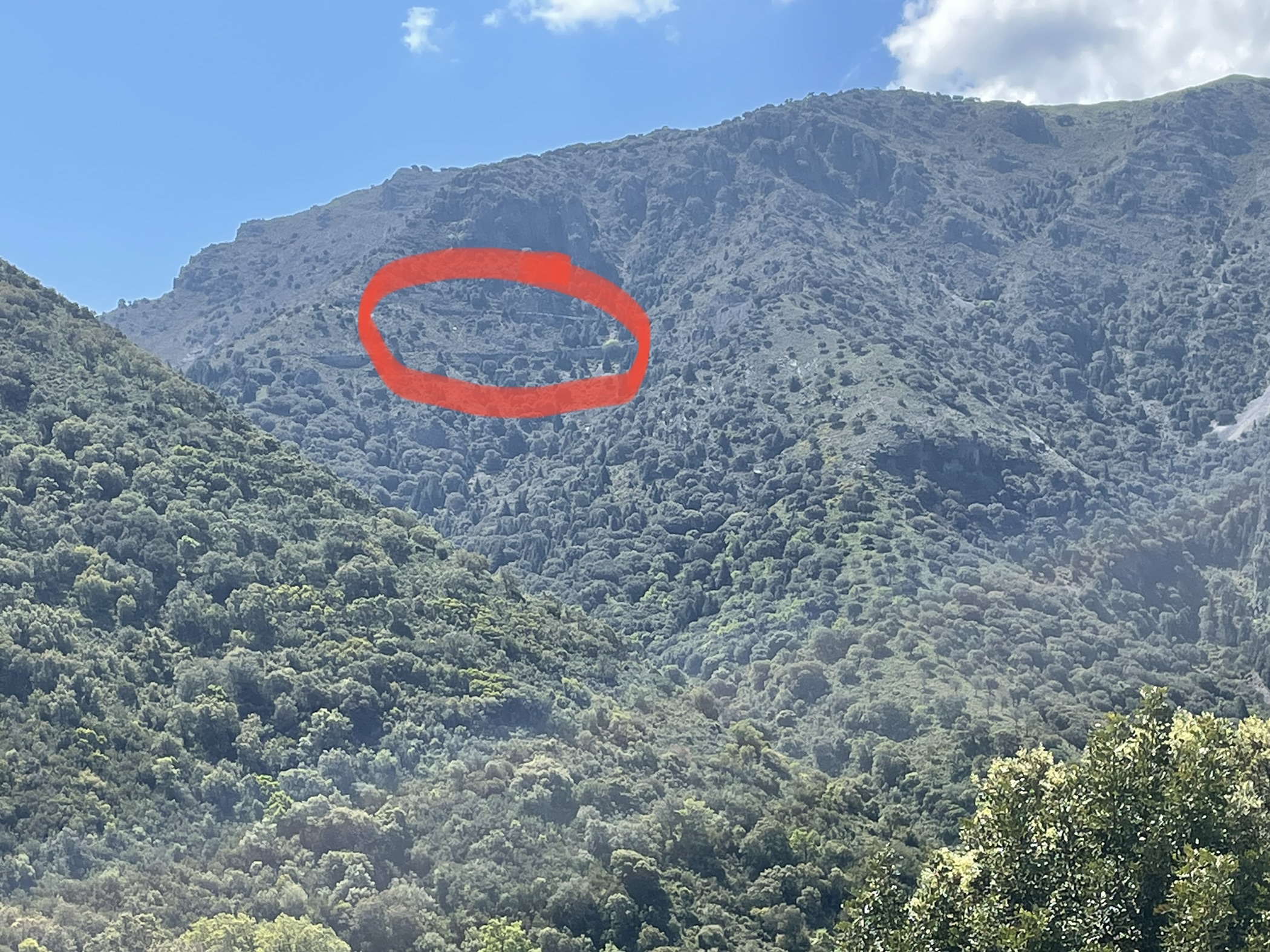
Later we did go on the walk - a three hour climb into the limestone hills behind. We gained about 400m with the top at about 1,250. We are using an app called Wikiloc and it is pretty good. We don’t have any detailed map so something providing marked ‘trails’ using the gps locator on the phone, gives one confidence. In these sort of hills the vegetation and rocks are a hazard. The ground is too hard to just plough through and there are some big crags to fall off.


Comments
It does amaze me that the variety of traditions around the world.
Tour safely.