The windy warm weather was perfect for washing and the campsite had plenty of ‘professional washing machines’. These are the sort that Dot Cotton must have run as they can do a huge wash in less than an hour. They even add their own detergent if you stick an extra 50c in the slot. By the time it was pegged out the washing was almost dry!

Tarifa is where the Atlantic Ocean meets the Mediterranean Sea, although the specific boundary where the waters meet is a little up the coast, almost next to the lighthouse at Cape Trafalgar. You could clearly see the two waters - there was a swell on Med waters that seemed to be pushed or stopped by the Atlantic which seemed calmer. It was a bit strange and hard to capture on a photograph.
I remember going to the Mediterranean for the first time and being shocked that there was no tide. The reason is clearer once you come and see this narrow gap between the landmasses of Europe and Africa. There simply isn’t enough room for the volume of water to move quickly enough into and out of the Mediterranean side. So the water level change can’t happen.
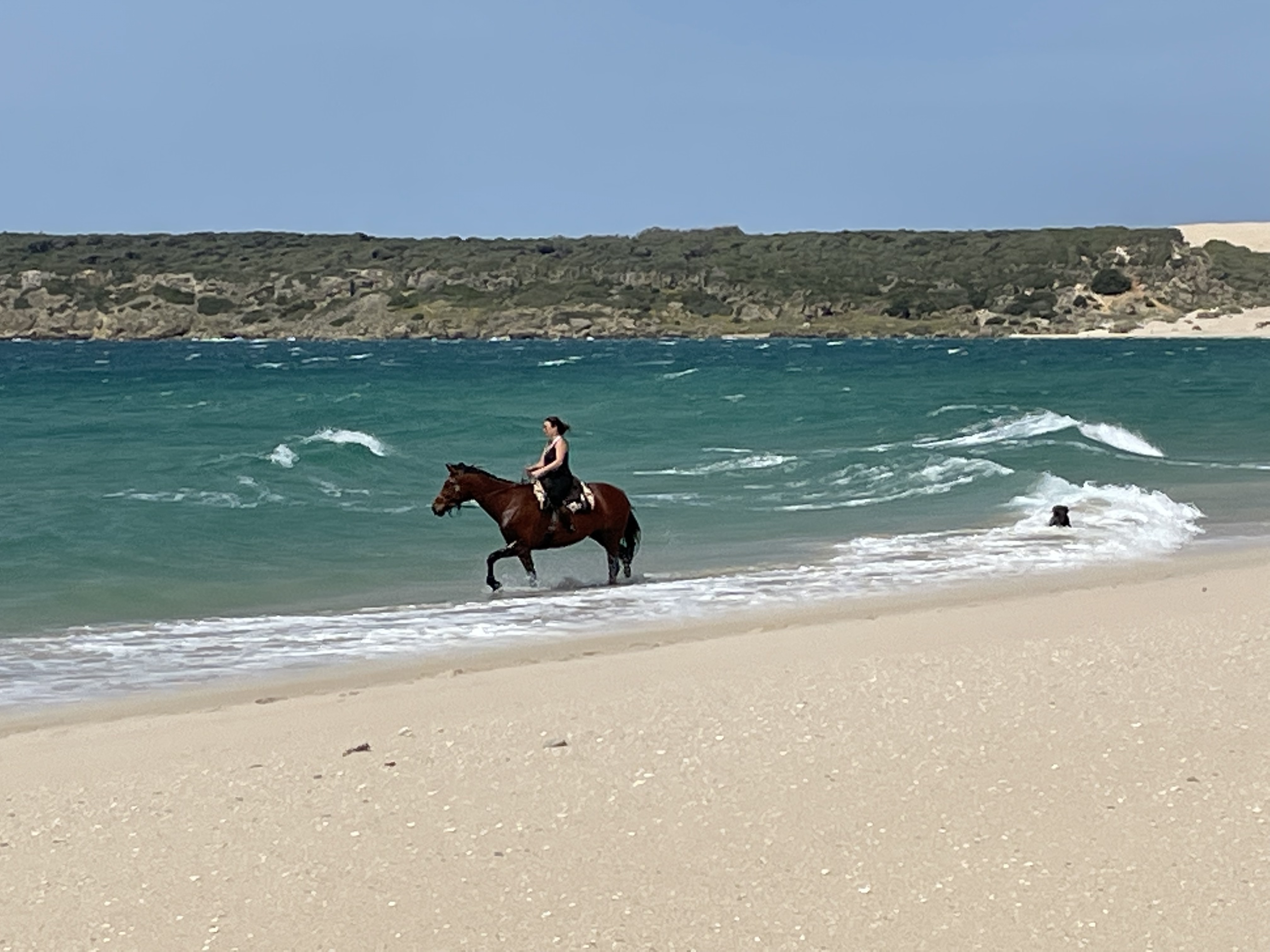
This Atlantic coast of Spain is the Costa de la Luz, the coast of light. In every way it is not the Costa del Sol which is around the corner on the Med side (think Marbella, Torremelinos, Malaga). It is undeveloped, quiet, spectacular and has wide long beaches with tides to wash them.
We walked on a deserted beach north of Tarifa but to get there the road crossed a big sand dune. To get a sense of the scale of this ‘sandy bit’ we grabbed a couple of photographs.


The council workers were busy with large scale sand movement. The persistent wind must fill the road and they persistently dig it out.



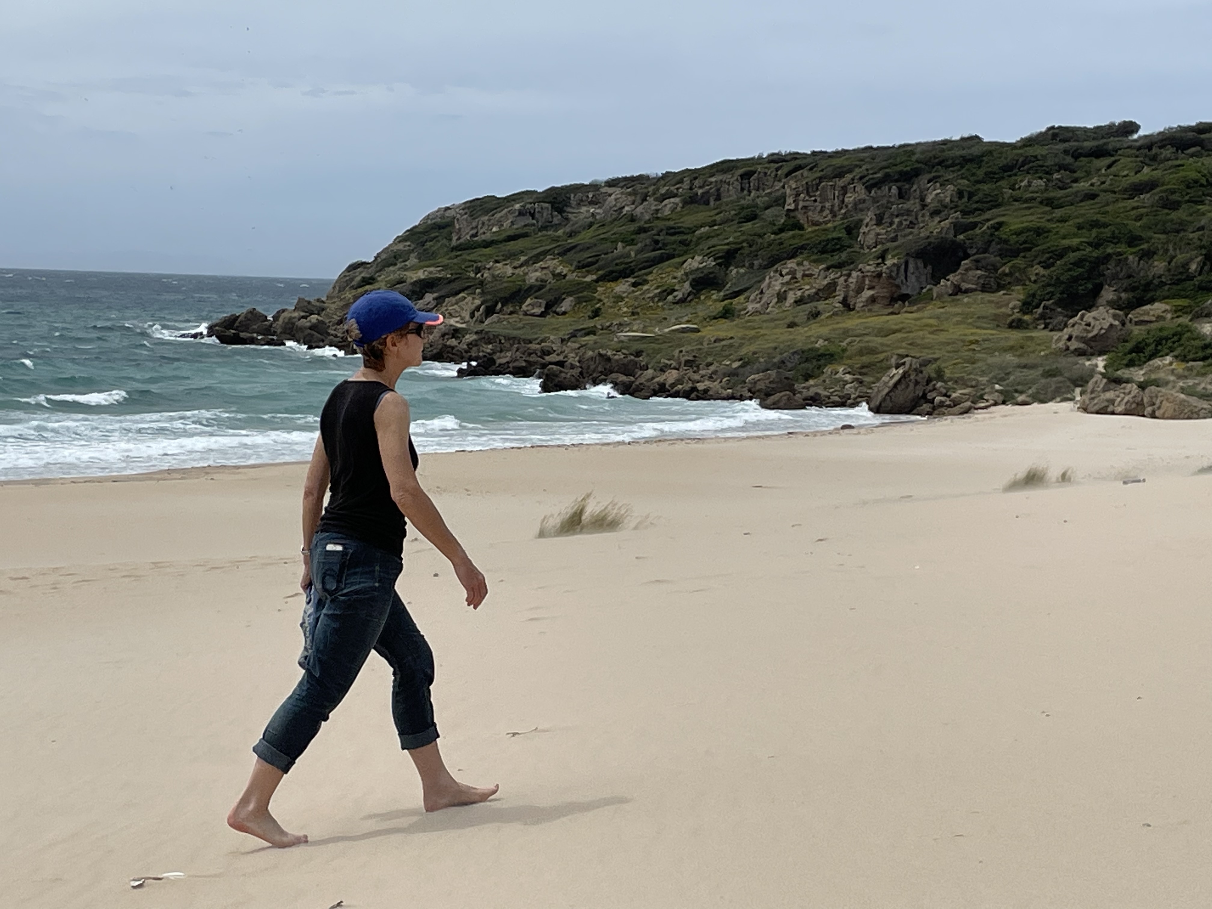

Later we walked on another beach in order to try an even larger dune walk. This proved to be good fun for a while. It’s a little like walking in a whiteout as the crests of the dunes are hard to see and the leeward face is very steep.


After a while it wasn’t fun as the sand had enveloped the trees and stunted dead wood was sticking up out of the huge dunes. We stupidly walked barefoot across this until I trod on the top of an unseen stump and took a slice off #4 toe end.
Then it was onto Cape Trafalgar. I have to admit that I knew nothing about the Battle of Trafalgar until a few months ago. I know quite a lot about other things but not this part of our English history. Now I know about the battle and it’s place in our history but I feel embarrassed to have only just done so.


Suffice to say for now that the Royal Navy, led by Admiral Lord Nelson, defeated the combined fleet of France and Spain, just off this coast in 1805.
This was done against all the odds (ships and men) and it was Nelson’s master plan to ‘spear’ the enemy rather than face them conventionally in a broadside battle, that split them and led to their heavy losses and defeat. Sadly of course, Nelson lost his life during the battle.
Comments
Like you I know not as much as I should about the Battle of Trafalgar but we do have Trafalgar Square in London as a wonderful memorial. I have been onto HMS victory and seen the brass plate showing where he died.
I hope your toe gets better quickly and let you wear shoes next time!
I walked across Trafalgar Square many times when I last worked in London but didn’t think to read more about the hero at the top.