By the time I get a mobile signal with a useful data speed, the next two or three posts will be ‘late’. There’s almost no EE signal at the south side of Mull, just very occasionally the phones spring to life and a few WhatsApps are received. A soon as they have, the ‘No service’ status returns and there can be no uploads of replies and no time to pickup the news or weather forecast. I don’t know how we managed before about 2010!
In the rush to the early ferry, we’d forgotten about filling with diesel on the mainland. We turned south away from Craignuir thinking that our 1/4-1/2 full tank would be ok for this ’tiny’ island. Then Dawn had a wise moment and suggested we fill up back at Craignuir. We did and were surprised to find the island fuel at 131.9 which is a penny less than at home. The lady said it had only just gone up too. Mull is a nice place.
So then we did turn south and headed for Loch Spelve. Immediately we were into a single track road with plenty of passing places. These were hardly needed as there were few vehicles about. Turning left off this A road we started to understand just what driving is like on Mull. Spectacular, remote and fun are three words that spring to mind.
Turning again to skirt the south side of this sea loch we really did feel remote and the road reflected this.

At Coggan we left the Landy at the end of the road, although I’d have liked to continue along the private track and on towards the seaward side of the hill. We enjoyed the remoteness of this south eastern corner of what is clearly a big island.
Later we continued south west, down to Loch Buie. The approach is narrow and the road is lined with purple rhododendrons which were magnificent, an avenue of colour enclosing the tiny road.
At the end of the road is The Old Post Office which is a café and small shop. We bought venison burgers. It’s run by the family who own and farm a substantial area of land around here and they encourage ‘wild camping’ next to a bay, facing south. It’s idyllic.
 |


The weather was superb and after a short walk to a larger beach, passing 15th C Moy castle, we took the plunge. It was cool.

Moy castle was the family home until the 18th C when the adjacent house was built. It was nice to see the Union Flag flying at the top of the castle.
Further along the track is the family mausoleum and this is a stirring place in a stunning location. We studied the inscriptions on the stones and thought about these people in Victorian times who left such beautiful tributes to their dead.


Walking west from the camp you follow a track for a couple of miles before reaching an abandoned farmstead. This is in the best position you could imagine. Next to the Loch and with some ‘reasonable’ ground around it. For some reason the landowner has let it go but eerily left various items within, including a bed.
At the back there’s a Perkins diesel engine without the accompanying generator, although the dubious electrical cutout and connection to the house is still there, with diesel visible in the fuel filter.
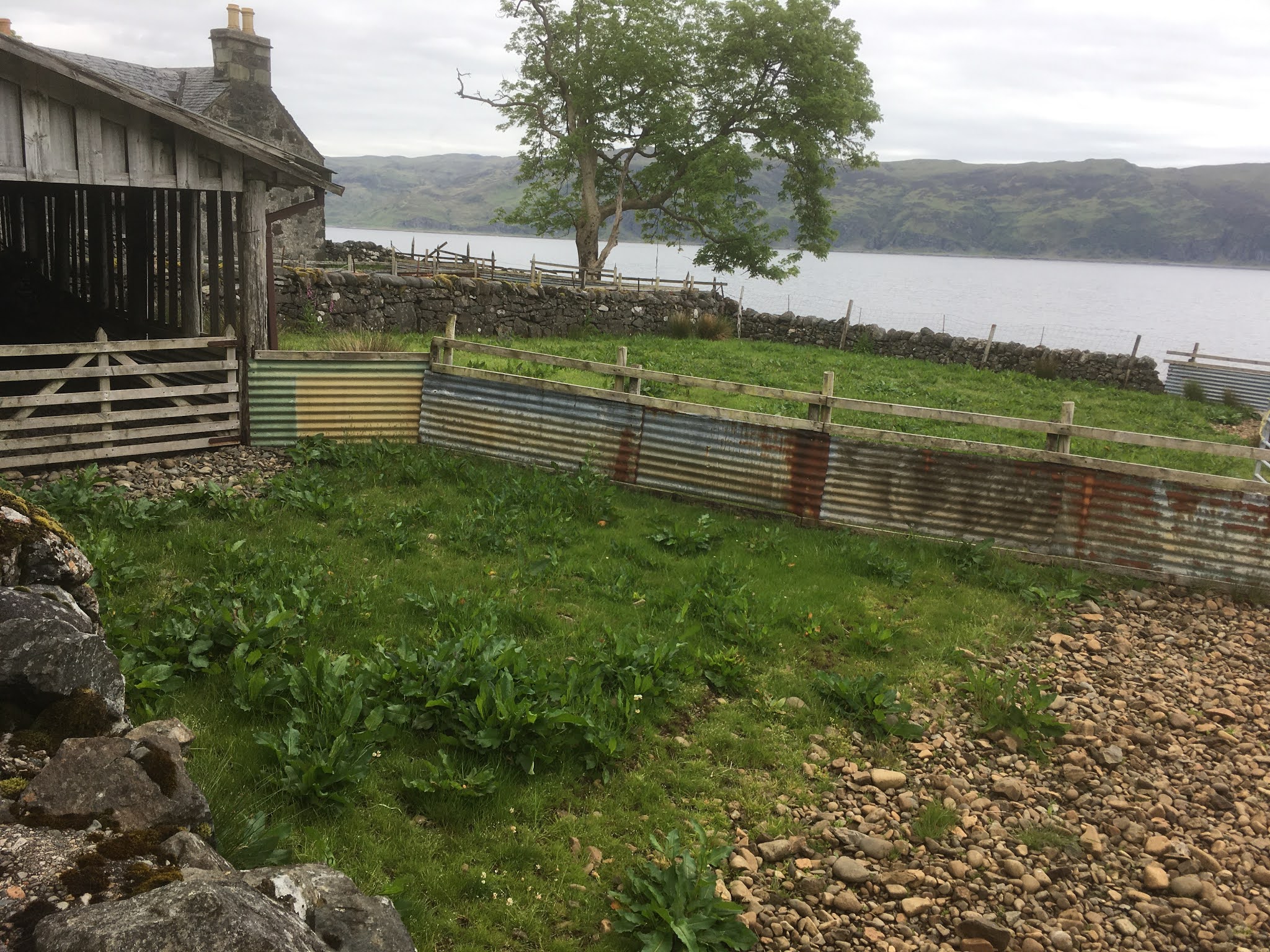


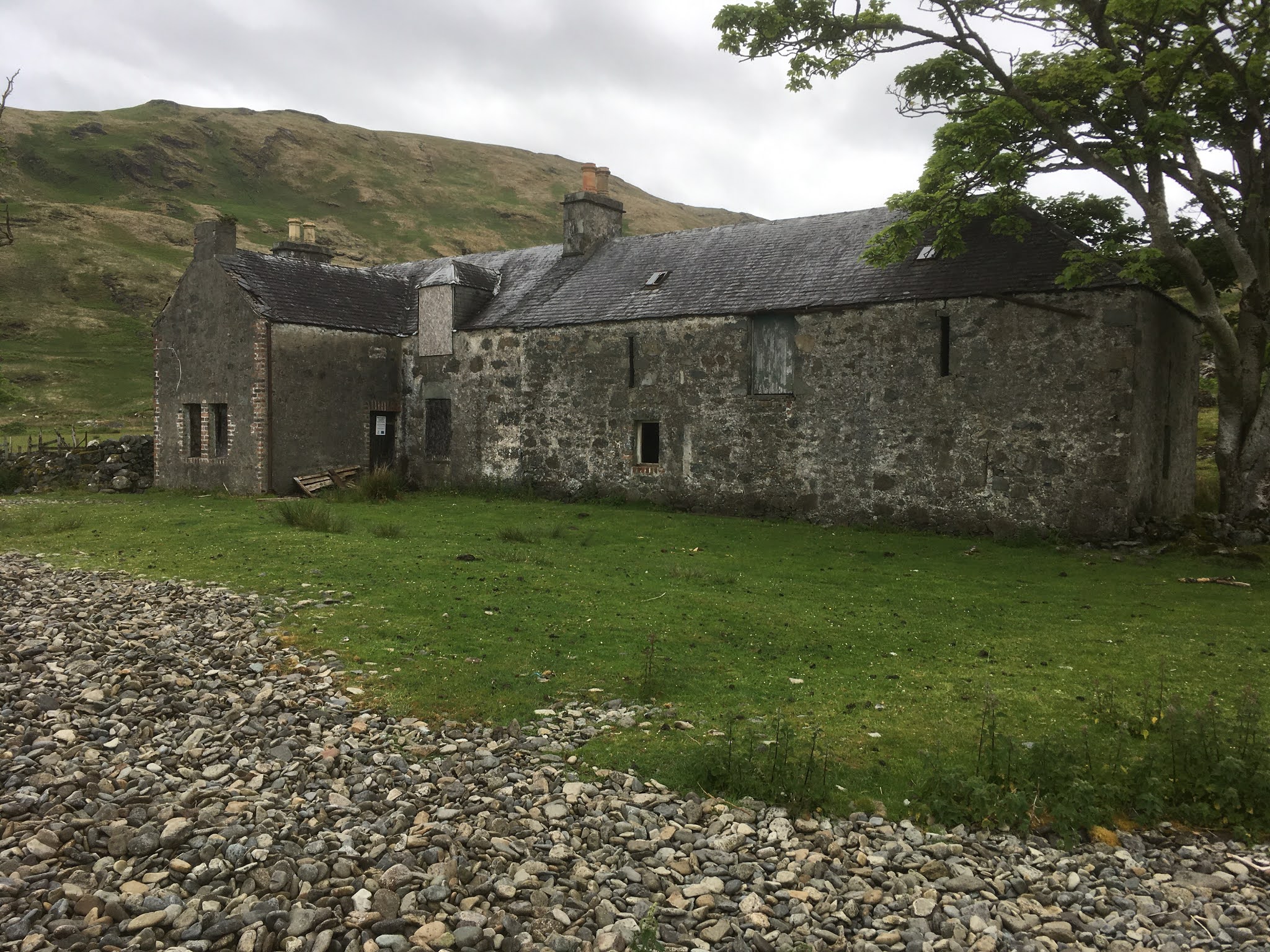
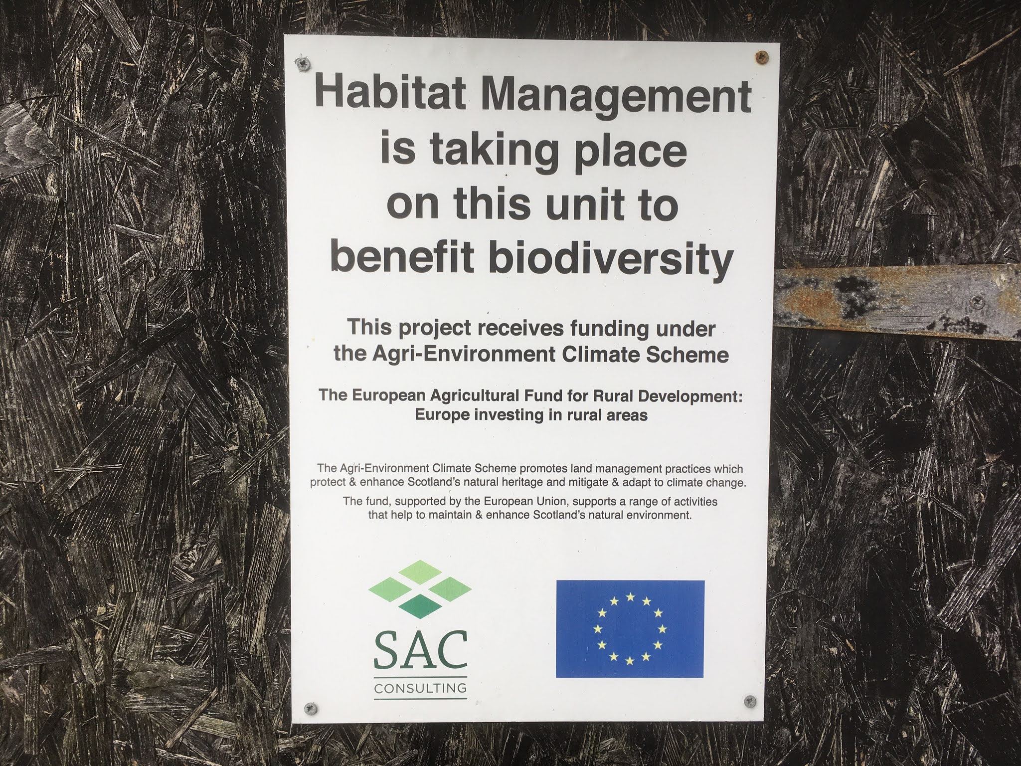
I’m afraid that I wasn’t impressed with the notice on the door. I’ve helped develop a few vision and mission statements over the years but I’m sorry, those words are lost on me.
Now the route becomes a high water mark rocky scramble and the pace reduced accordingly. At one point we encountered a smell. Dead sheep and such I can deal with but a rotting deer is difficult. The smell was terrible and clambering was done at pace.
A rock wall ‘traverse’ has been simplified by a daisy-chain rope, bolted to the rock but the rope was a little too short and in slippy conditions most people would turn back. A little further and I picked up a good piece of washed up rope and on our return I fastened it to the existing rope as a favour to those who will follow.


Comments