The Wales Coastal Path


The pre-trip modification to the internal layout includes a sliding surface at the kitchen. It uses a pair of drawer sliders from a repurposed filing cabinet, which would be strong enough to stand on, should you so wish.


This campsite is a five minute walk from the Wales Coast Path and we decided that a walk in a south westerly direction would be a good plan. So over the golf course we went and turned left. With the air clear after a major blow overnight, the views were spectacular. This golf course is fabulous and I have the urge to play.


The sea was fairly choppy after the overnight gale but the visibility perfect and looking north we could see land. It took some time to work out where it was because it wasn’t continuous.

Clearly there was the sweeping coast of Anglesey, surprisingly distant but what was that big lump in the west? Surely it couldn’t be the Isle of Man, could it? No, it couldn’t.

It was Holy Island which is connected to the bigger island on that low causeway. It seemed so far across to it. Tucked on the horizon was a white lump which must be South Stack lighthouse.

Early lunch was taken at a lovely pebble beach with an attractive beach hut tucked away. It appeared that it was occupied but no-one came out to meet the tourists.


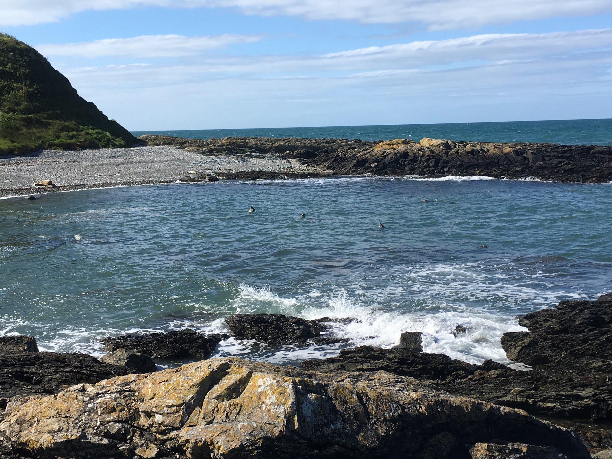
The walk continued and we saw a few seals but eventually turning a corner there was a little bay full of them.

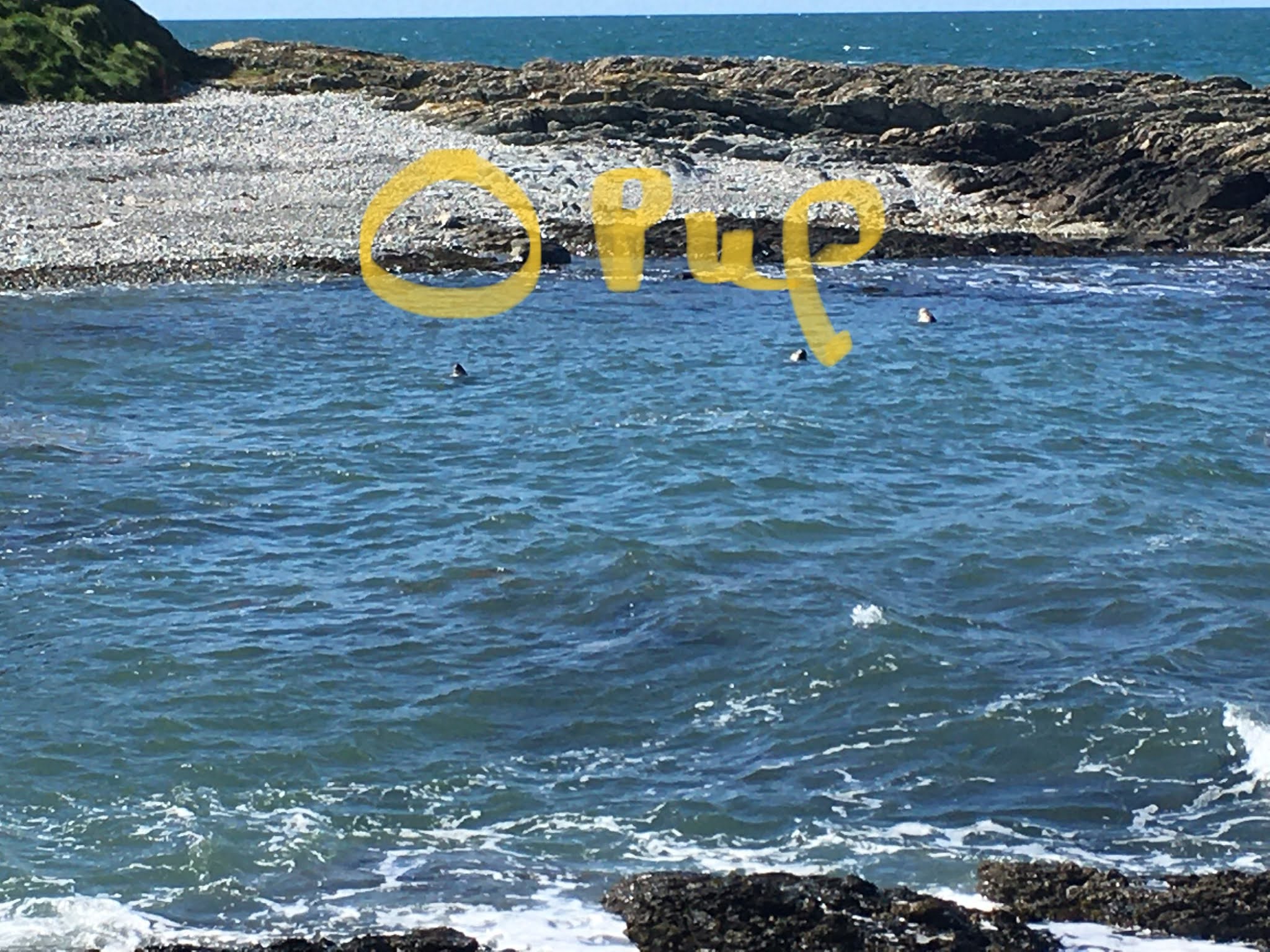
We stood on the rocks to the side watching them in the water. Most were motionless with their snouts in the sun. Then we realised that the big rock on the beach was an adult seal and several metres further on was a fairly large pup. 
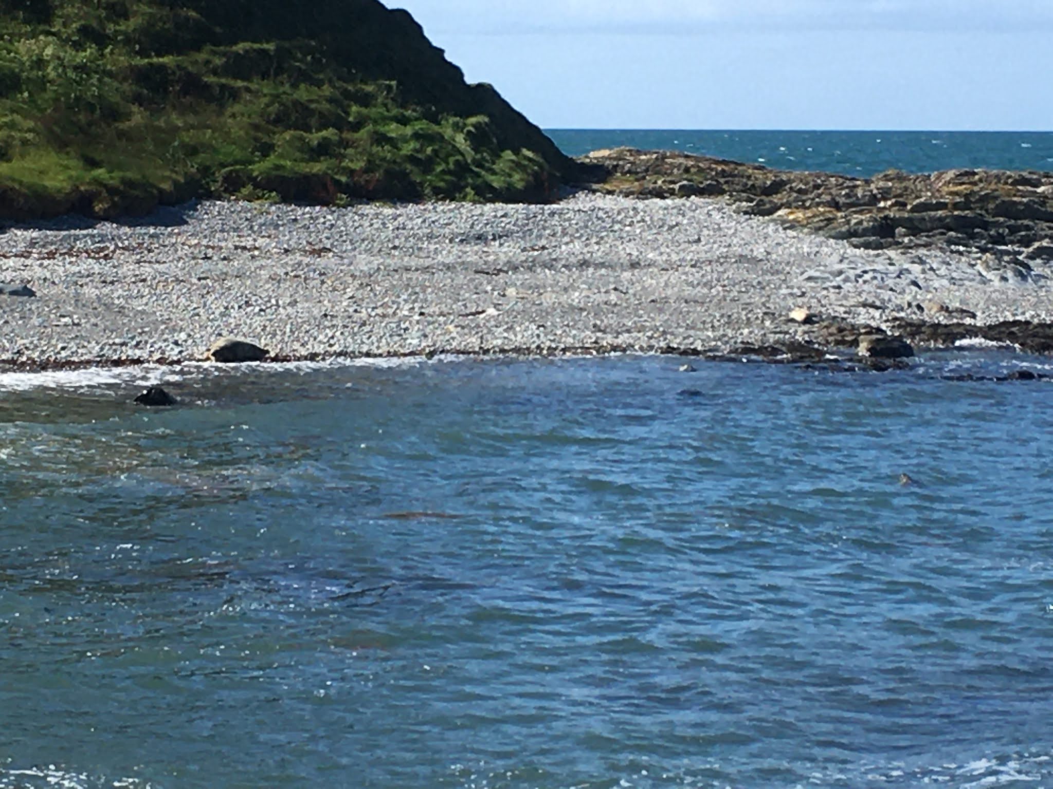


I think we saw eight in the water and keeping a respectable distance we watched for about thirty minutes.

Finally we retraced our steps, walking away from the sun and so the views back up the peninsula were stupendous. With calm conditions we opened the awning, beer and bbq. A great day.


Comments

Rachel said…
This is amazing - so jealous of your set up!!
Tim said…
Thanks Rach. It’s getting better each trip. The vehicle itself still needs work though.
Great to have your comments on the blog. Others are coming in via email so you aren’t alone but yours will be visible for ever on here 😁

Popular posts from this blog

The empty map of Macedonia and into Greece

Continuing south towards the Serbia / Macedonia border, the satnav warned of a lack of detail, "do you wish to continue with this route?" However we are not intrepid explorers and Macedonia comes with a few " be careful" warnings, so we decided to stay on the motorway :-) We didn't explore Serbia; it will wait for another trip. So it was on to the border. Here, passport and V5 were required again and also proof of insurance. We didn't have any of course. When we rang the UK insurance company call centres prior to the trip, most had no idea where these countries are. They don't understand non-EU. "Macedonia - can you spell that"? The nice man at the passport office was already expecting me to say that I would buy my insurance at the "Green card office" and he handed back one passport and the V5 and put mine in his pocket until I had the necessary paper for the Landy. Unfortunately in spite of the Land Rover being classed as PL...

Remote mountains and how not to behave in them

Prior to the trip I had read somewhere that there aren’t any mountains in Portugal - at least I thought I read it. My preparations had, as usual, been focused almost totally on getting the Landy ready and Dawn, who had been doing all the other jobs was much better informed. “What? You are kidding aren’t you? Have you even looked at a map?” were some of the words she used when I told her this vital piece of information. As it became clear, there are mountains in Portugal - not massive peaks but high elevations are common and the extent of the ranges is quite large. The most remote and wild are the Serra da Peneda Gerês which rise to 1,440m but there are three others “Seras” in the Parque National da Peneda - Gerês, in which wolves roam free. First stop on they way there was the town of Guimarães, the day after “Portugal Day” and the castle and buildings were in tip-top condition. A Polish guy from Katowice who’s lived here for twenty years was selling bilberry jam in these c...

"I'm the dog"

El Berro and  Camping Sierra Espuña  are nicely positioned for walking in these 'low' Sierras and of course the obligatory GR XYZ  long distance path crosses the village. The campsite people gave us a couple of short walk suggestions, written on A4 and translated by some English guy, Michael Ball. We waited until the end of the afternoon, so that the temperature was somewhat manageable and then picked one of the ~1 hour walks that start at the campsite. The walk is so simple that there's no description, just a small diagram that's well annotated with the type of path (wide main track / footpath), other markers (gate, incorrect route, fence). You can't go wrong, can you? Well the first part was easy. Follow the path out of the village, up a valley, through woodland, up and up. Then reach the ridge and the marked ring of stones. Don't turn right, carry on straight across. Then wander through a few trees and down to a dry riverbed, at which point you walk the (ve...