We headed for the valley of the river Clarée but first had to drive over yet another col. We have driven so many real mountain roads on this trip; more classic roads than ever I think.
Today we are going over Col de l’izoard at 2,381m on the road to Briancôn, which at 1,326m is the highest city in France. As usual, so are others - an amazing mix of drivers, riders and cyclists. The cyclists have to be slightly mad to do what they do. The sun beats down, motorcycles race up and down in groups past them and us and there’s cars, vans and camper vans, all making their way up and down. These are long pulls for everyone but the cyclists just keep going. The roads up these cols can be very long - 30km wouldn’t be a surprise and all the time it’s uphill.
This col is memorable for the dramatic screes that sweep down, across the road and continue down. The stones must be frequently cleared but even so, there are plenty of pebbles and small rocks.
It’s a lottery as to whether or not you can stop at a viewpoint but today it’s ok and we do.


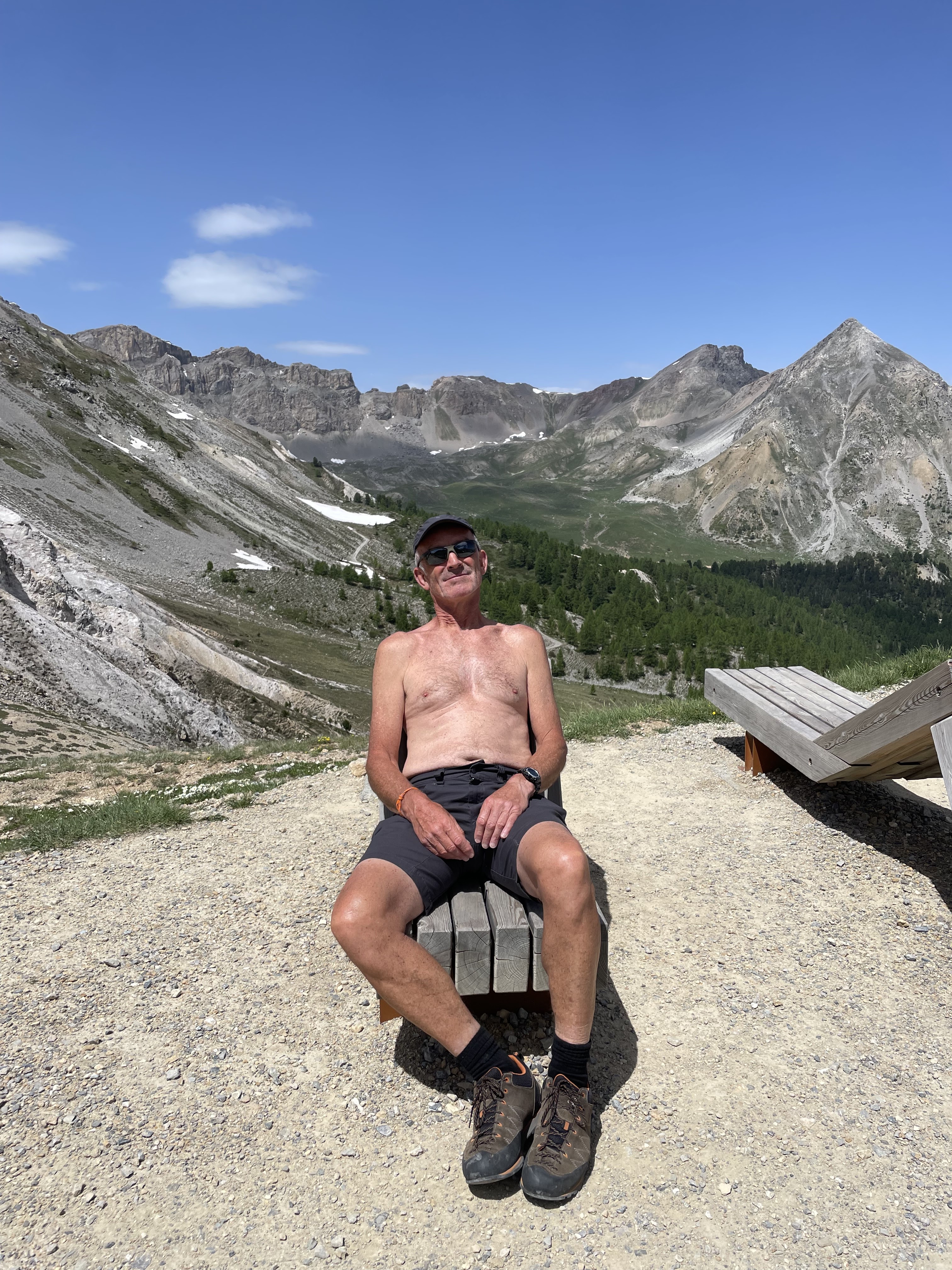
We are so chilled now that there’s even time for some relaxing. It’s very hot even at this height.
We make our way to a Huttopia campsite at the bottom of the valley that rises to Fontcouvèrt.
The road at the far end from the last village is closed from 08:00 -18:00 each day and outside those times, a shuttle bus ferries people further up and back down.Well that’s what we had read but at Huttopia they told us that the restriction isn’t in place until July. We spend the night there under pine trees. It’s very pleasant but I find myself getting irritated by their claim to be eco/ green etc. There are boards that are not yet updated, telling us the daily water usage per camper but they need a plumber. There are leaking unions on much of the plumbing and those push to operate taps I’m sure use more water than a hand turn one.
It’s nice but we need to get to the head of the valley to a campsite from where we can do some more walking.
When we arrive at that last village, Nèvache it seems as though the whole world is here already and it’s only June.
We stock up at the boulangerie and can’t resist a tartelette de myrtilles which is shared soon after purchase.

We can go past the barrier into the higher valley road and it’s another 10mins drive to Fontcouvert and a very different campsite.
This isn’t one for herb plants on the table or indeed tablecloths. It’s a true walkers’ place with very rudimentary facilities and only cold water except for the jeton enabled shower (x2).
There are no marked pitches but we bag an elevated one and watch over those in the lower area, grab lunch (yes we are early) and then decide to walk up to the two lakes, apparently a popular jaunt.
This walk turns out to be an uphill slog and we get into a rhythm and walk up a stoney track that becomes a stone path where it passes a few chalets, including a refuge, the detail of which is noted for later.
The lakes turn out to be in corrie / cwm lakes; well the upper one is and the lower one is just a tease before the final pull to the upper one.


At least the view has opened up quickly; that’s the benefit of starting high and walking still higher. These alpine mountain slopes are at such an angle from the valleys that their huge area isn’t apparent until you get high. Then they seem to ‘tip’ forwards to show off their grandeur.


There’s a treat though because not only do we see the mountains immediately opposite (behind the campsite), we are high enough now to see over them to the monsters behind.
The snow covered peaks are ‘The Ecrins’ and that means we are looking at a series of mountains that are almost touching 4,000m. With binoculars we can see a lot of snow and glaciers.


The lake waters are inviting but the signs say “no”. In fact the only water activity allowed up here, surprisingly, is fishing and there are one or two (locals) up here doing just that. It’s slightly bizarre.
The dodgy looking Ecrins weather seems to spawn a thunder cloud that might be heading our way. It’s engaging just to watch it and work out that thankfully it will slip away to the side of us.
We do pop on a mac as there are a few spots that could so easily become a deluge with little warning and there is a single BANG and then it’s gone and the sun comes out and the heat comes back.
We head down, spurred by thoughts of the buvette below and we eventually get down but it’s a long way.


We pick a couple of verres of something alcoholic ‘Alpin des myrtilles and l’herbs’. Something like that anyway. We watch the mountains and the people who are staying there tonight and enjoy the beauty.
Then we remember that we are only part way down but at least it’s downhill all the way. Well it is but heck it’s steep and not a freewheel.
In total it was 1,000m height gain over 4.5km and so at almost 6 miles, not a bad afternoon jaunt.
Comments